
Basin-Wide/Census Habitat Surveys
The ODFW Aquatic Inventories Program is designed to collect information about aquatic habitats throughout Oregon. This goal has resulted in a methodology that is flexible enough to capture the variability found throughout the state.
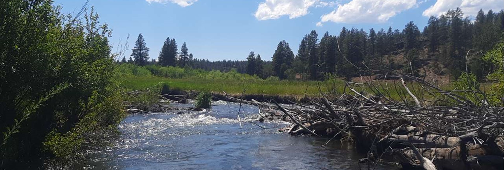
The basin/census stream habitat survey design captures instream habitat conditions at the watershed scale. Data collected at this comprehensive scale are crucial in evaluating and prioritizing habitat restoration projects, tracking changes resulting from natural and human-induced influences, and guiding habitat management plans.
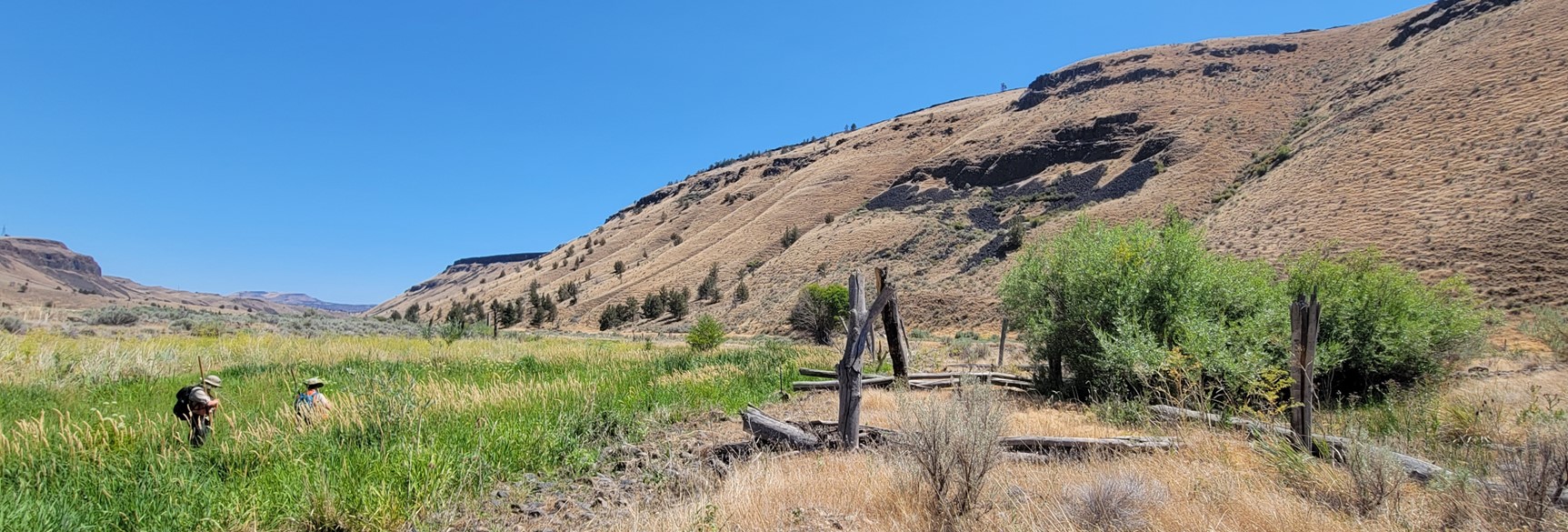
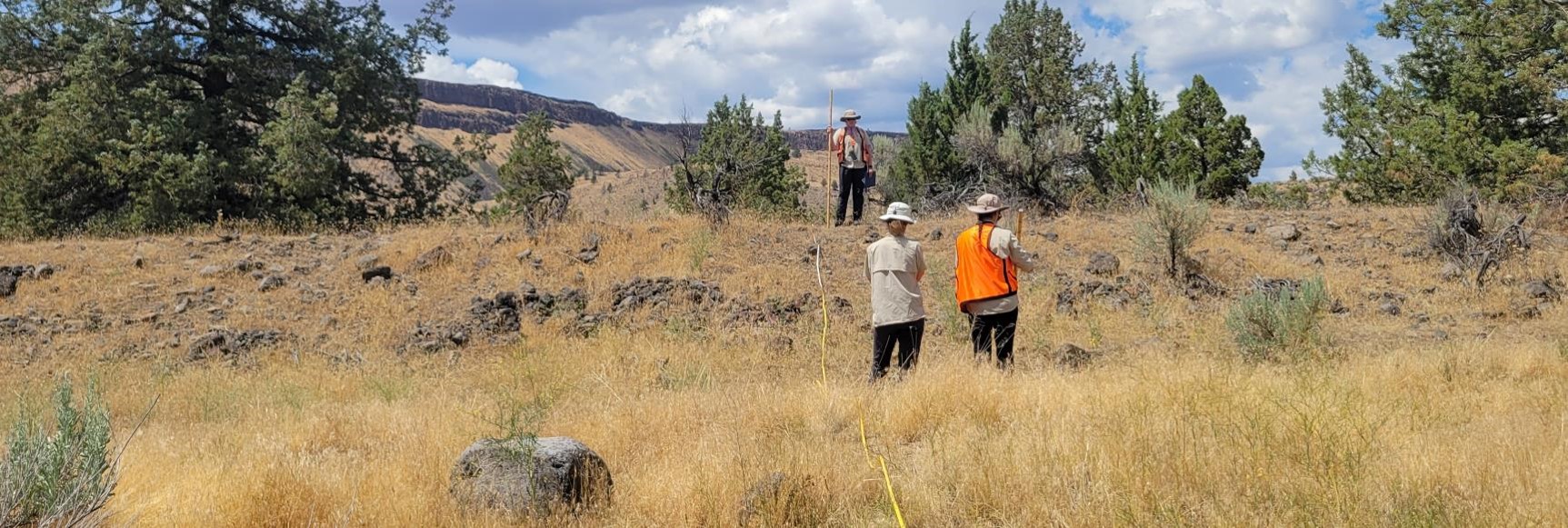
Our dedicated survey teams consist of two members who conduct basin-wide surveys. They initiate their surveys at a designated starting point along a river or stream and proceed upstream to a specified endpoint, adhering to contractual agency specifications.
During these surveys, we collect data at two distinct scales. First, we identify and document broad-scale information, characterizing distinct stream reaches based on land use, topography, and vegetation. We meticulously document habitat units such as pools, riffles, and glides within these reaches. The information we gather encompasses a wide range of parameters, including substrate composition, gradient, channel exposure, presence of woody debris, bank stability, and riparian vegetation content.
You can download our comprehensive survey methods manual for more detailed insights into our survey methodology. We've successfully inventoried over 20,000 kilometers of stream habitat to date, furthering our understanding of Oregon's aquatic ecosystems.
Project Contacts:
Sharon Crowley
Peggy Kavanagh