Habitat and Reach Data
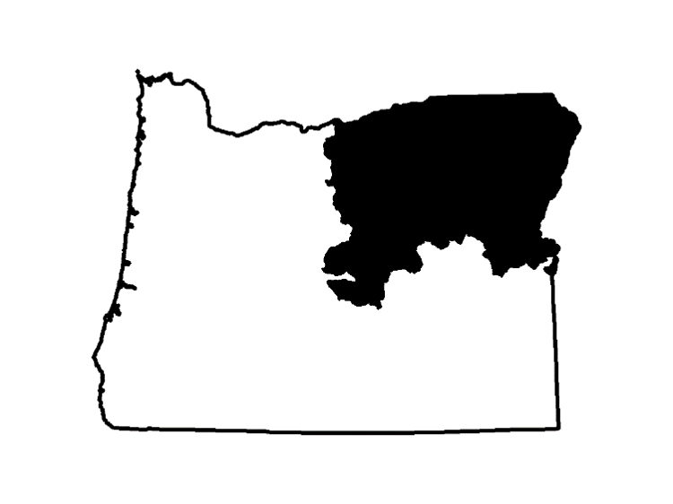
NORTHEAST OREGON

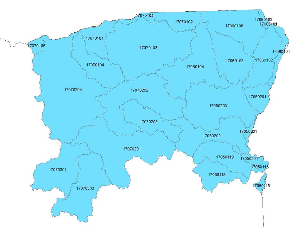
Locate the Hydrologic Unit Code (HUC) number in the provided table to explore and acquire GIS data specific to your area of interest. Each HUC is associated with two zipped GIS shapefiles conveniently bundled for efficient transfer.

| HUC | Key Watersheds | Habitat and Reach GIS.zip files |
|---|---|---|
| 17050118 | Bully / Glover | No Data |
| 17050119 | Willow | 17050119.zip |
| 17050201 | Snake - Morse Hollow | 17050201.zip |
| 17050202 | Burnt Creek | 17050202.zip |
| 17050203 | Powder / Eagle | 17050203.zip |
| 17060102 | Imnaha / Little Sheep | 17050102.zip |
| 17060104 | Grande Ronde (summer) | 17060104.zip |
| 17060104 | Grande Ronde (winter) | 17060104winter.zip |
| 17060105 | Wallowa / Minam / Lostine | 17060105.zip |
| 17060106 | Grande Ronde / Joseph | 17060106.zip |
| 17070101 | Sixmile / Juniper Canyon | No Data |
| 17070102 | Walla Walla | 17070102.zip |
| 1707103 | Umatilla | 1707103.zip |
| 17070104 | Willow / Rhea | No Data |
| 17070201 | Upper John Day / S Fk Johns Day | 17070201.zip |
| 17070202 | North Fork John Day | 17070202.zip |
| 17070203 | Middle Fork John Day | 17070203.zip |
| 17070204 | Lower John Day | 17070204.zip |
| 17070303 | South Fork Crooked River | 17070303.zip |
| 17070304 | North Fork Crooked River | 17070304.zip |