Habitat and Reach Data
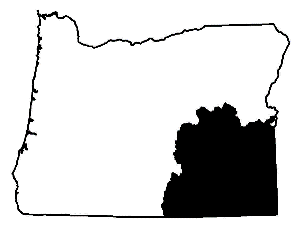
SOUTHEAST OREGON

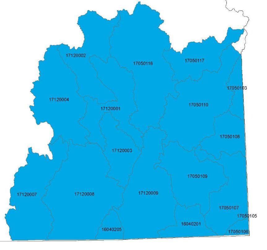
Locate the Hydrologic Unit Code (HUC) number in the provided table to explore and acquire GIS data specific to your area of interest. Each HUC is associated with two zipped GIS shapefiles conveniently bundled for efficient transfer.

| HUC | Key Watersheds | Habitat and Reach GIS .zip files |
|---|---|---|
| 17050116 | Malheur | 17050116.zip |
| 17050117 | N F Malheur / Cottonwood | 17050117.zip |
| 17120001 | Malheur Slough / Rattlesnake / Crowcamp | 17120001.zip |
| 17120002 | Silvies | 17120002.zip |
| 17120003 | Donner and Blitzen | 17120003.zip |
| 17120004 | Silver Lake | 17120004.zip |
| 17120007 | Camas / Warner Lake | 17120007.zip |
| 17120008 | Catlow / Guano Lake | 17120008.zip |
| 17120009 | Whitehorse / Alvord Desert / Trout | 17120009.zip |
| 16040205 | Rincon | No Data |
| 17050103 | Succor | No Data |
| 17050106 | Tent | No Data |
| 17050107 | Owyhee | No Data |
| 17050108 | Jordan | No Data |
| 17050109 | Crooked Cr / Palomino / Rattlesnake / Dry | No Data |
| 17050110 | Owyhee / Dry / Crowley | 17050110.zip |
| 16040201 | McDermitt / Oregon Canyon | 16040201.zip |