Habitat and Reach Data
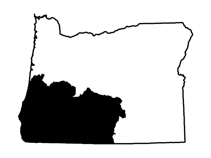
SOUTHWEST OREGON

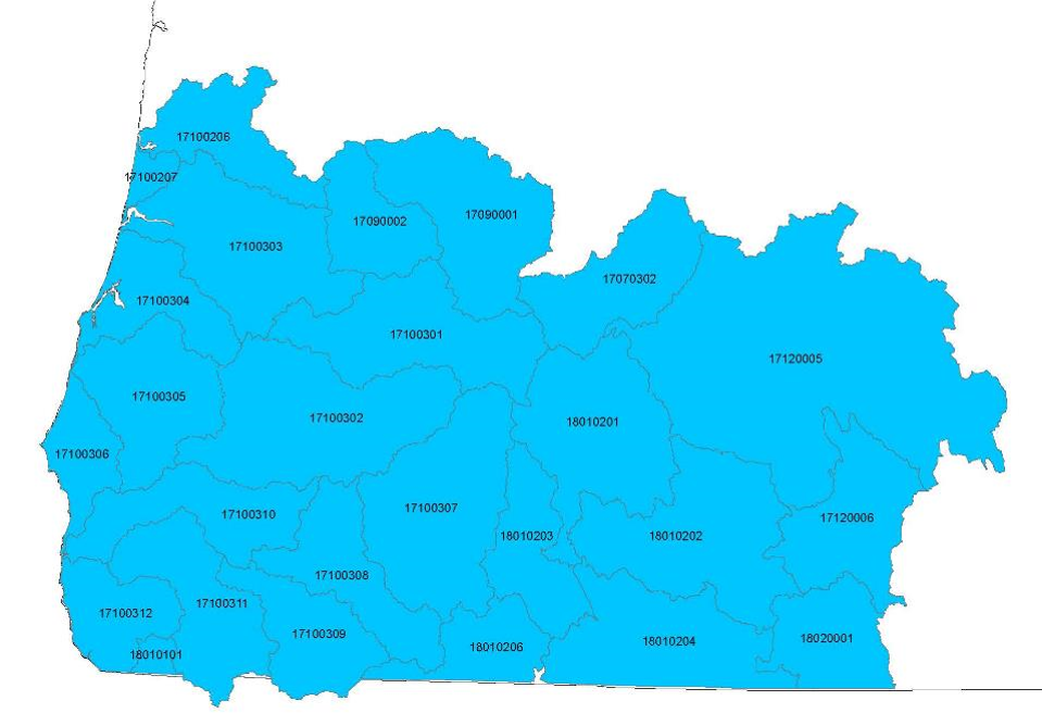
Locate the Hydrologic Unit Code (HUC) number in the provided table to explore and acquire GIS data specific to your area of interest. Each HUC is associated with two zipped GIS shapefiles conveniently bundled for efficient transfer.

| HUC | Key Watersheds | Habitat and Reach GIS.zip files |
|---|---|---|
| 17070302 | Little Deschutes | No Data |
| 17090001 | Middle Fk Willamette | 17090001.zip |
| 17090002 | Coast Fk Willamette | 1709002.zip |
| 17100206 | Siuslaw River | 17100206.zip |
| 17100207 | Siltcoos Lake / Tahkenitch | No Data |
| 17100301 | North Umpqua | 17100301.zip |
| 17100302 | South Umpqua | 17100302.zip |
| 17100303 | Main Umpqua / Smith River (summer) | 17100303.zip |
| 17100303 | Smith River (winter) | 17100303winter.zip |
| 17100304 | Tenmile / Coos / Millicoma / Palouse / Kentuck (summer) | 17100304.zip |
| 17100304 | Tenmile / Coos / Millicoma (winter) | 17100304winter.zip |
| 17100305 | Coquille (summer) | 17100305.zip |
| 17100305 | Coquille (winter) | 17100305winter.zip |
| 17100306 | New River / Floras Lake / Sixes / Elk | 17100306.zip |
| 17100307 | Little Butte / Upper Rogue / Elk / Big Butte / Imnaha | 17100307.zip |
| 17100308 | Evans / Middle Rogue / Bear | 17100308.zip |
| 17100309 | Williams / Applegate | 17100309.zip |
| 17100310 | Grave / Lower Rogue | 17100310.zip |
| 17100311 | Illinois / Deer / Sucker | 17100311.zip |
| 17100312 | Hunter / Pistol / Chetco / Winchuck | 17100312.zip |
| 17120005 | Thompson Reservoir | 1712005.zip |
| 17120006 | Chewaucan / Lake Abert | 17120006.zip |
| 18010101 | N Fk Smith | No Data |
| 18010201 | Williamson | 18010201.zip |
| 18010202 | Sprague / Sycan | 18010202.zip |
| 18010203 | Upper Klamath River | 18010203.zip |
| 18010204 | Klamath / Lost | 18010204.zip |
| 18010205 | No Data | |
| 18010206 | Klamath River | 18010206.zip |
| 18020001 | Goose Lake | 18020001.zip |